

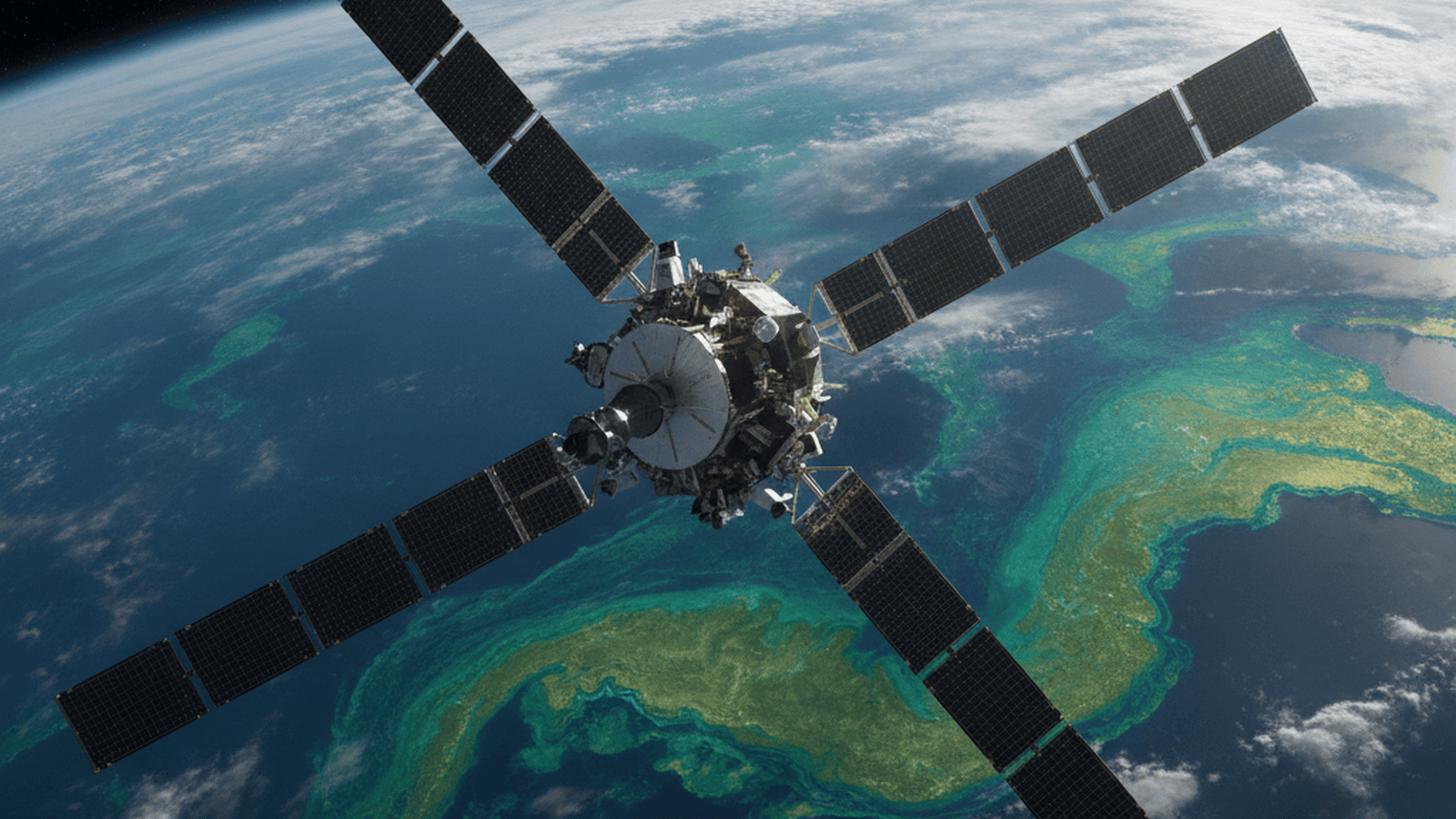
NASA’s PACE satellite has released its first comprehensive datasets, providing a hyperspectral view of the Earth’s oceans and atmosphere. The mission uses advanced sensors to identify specific phytoplankton species and analyze atmospheric aerosols, offering new insights into the global carbon cycle and climate regulation.
TLDR: NASA’s PACE satellite has begun delivering high-resolution hyperspectral data, allowing scientists to distinguish between different types of ocean phytoplankton and atmospheric aerosols. This mission provides critical insights into the carbon cycle and cloud formation, significantly reducing uncertainties in climate models and improving the monitoring of global ocean health.
NASA’s Plankton, Aerosol, Cloud, ocean Ecosystem (PACE) mission has officially transitioned from its initial commissioning phase to full-scale scientific operations, marking a transformative era in Earth observation. Managed by NASA’s Goddard Space Flight Center, the satellite has begun transmitting its first comprehensive datasets, offering a level of detail previously unattainable from orbit. While earlier satellite sensors were limited to viewing the ocean in a few discrete color bands, PACE’s primary instrument, the Ocean Color Instrument (OCI), is a hyperspectral powerhouse. It captures a continuous spectrum of light ranging from the ultraviolet through the visible and into the shortwave infrared. This “rainbow” of data allows scientists to see the ocean’s nuances in ways that reveal the very building blocks of marine life.
The primary biological focus of PACE is the study of phytoplankton—microscopic organisms that serve as the foundation of the marine food web. These tiny plants are responsible for roughly half of the photosynthesis on Earth, playing a pivotal role in the global carbon cycle by sequestering atmospheric carbon dioxide. For the first time, the OCI’s spectral resolution enables researchers to differentiate between specific species of phytoplankton from space. This distinction is vital; different species have different roles in the ecosystem, and their distribution changes in response to shifting ocean temperatures and increasing acidity. By tracking these shifts, scientists can better manage commercial fisheries and quantify the ocean’s long-term capacity to act as a carbon sink, which is essential for predicting the pace of global climate change.
Complementing the OCI are two advanced polarimeters: SPEXone and HARP2. These instruments are designed to measure the polarization of sunlight as it interacts with the atmosphere and the ocean surface. By analyzing the orientation of light waves, these sensors can determine the physical characteristics of aerosols—tiny airborne particles such as sea salt, wildfire smoke, desert dust, and industrial pollutants. Aerosols represent one of the largest sources of uncertainty in current climate science. They can reflect incoming sunlight, providing a cooling effect, or absorb it, contributing to warming. Furthermore, aerosols act as “seeds” for cloud formation. The high-resolution data provided by PACE allows atmospheric scientists to observe these interactions at a granular level, providing the empirical evidence necessary to refine global climate models and improve the accuracy of future weather and precipitation forecasts.
The mission’s impact extends beyond theoretical climate science into immediate, practical applications for coastal management and public health. The hyperspectral capabilities of the OCI are particularly effective at identifying harmful algal blooms (HABs). These blooms can produce potent toxins that are dangerous to humans, pets, and marine wildlife, often leading to the closure of beaches and shellfish beds. Previous satellite generations often struggled to distinguish between harmless algae and toxic species in the murky, turbid waters of coastal zones. PACE’s ability to identify the unique spectral signature of specific toxic organisms allows local authorities to issue more timely and accurate warnings, protecting both public health and local economies dependent on aquaculture and tourism.
As the PACE mission progresses through its multi-year observation period, the data will be integrated into a broader network of Earth-observing systems. Scientists are already planning to combine PACE’s biological insights with physical data from other missions, such as the Surface Water and Ocean Topography (SWOT) satellite. This synergy will allow researchers to create a holistic view of how physical ocean circulation—currents, eddies, and tides—influences the distribution and health of marine life. By unravelling the complex feedback loops between the biosphere and the atmosphere, PACE is providing a clearer understanding of the planet’s resilience and helping humanity navigate the challenges of a changing global environment.

Mark Davis serves as the Senior Correspondent for Energy, Climate, and Resource Economics at Just Right News. In an era where the conversation around the environment is often dominated by alarmism and top-down mandates, Mark provides a vital, market-oriented perspective on the complex forces shaping our world. As the lead voice behind the acclaimed feature series “Power and the Planet,” he explores the intersection of environmental policy, global energy markets, and the fundamental economic principles that sustain modern civilization.
Mark’s pragmatic approach to resource management was forged in the high desert of his hometown, Albuquerque, New Mexico. Growing up in a region defined by both its breathtaking natural beauty and its rugged, resource-dependent landscape, he developed an early appreciation for the delicate balance between conservation and utilization. New Mexico’s unique position as a hub for both traditional energy production and cutting-edge scientific research provided Mark with a front-row seat to the evolution of the American energy sector. This upbringing instilled in him a deep-seated belief that true environmental stewardship is inseparable from economic prosperity and technological innovation.
Now based in Boulder, Colorado, Mark operates from the heart of the nation’s climate research community. While Boulder is often seen as a bastion of environmental idealism, Mark utilizes his post to provide a necessary counterweight, grounded in the realities of resource economics. He understands that energy policy does not exist in a vacuum; it has tangible consequences for the American taxpayer, the stability of the national power grid, and the strength of the domestic manufacturing sector. By reporting from the front lines of the climate debate, he is able to challenge prevailing narratives with hard data and a commitment to the principles of the free market.
Throughout his tenure at Just Right News, Mark has distinguished himself by focusing on the “Resource Economics” aspect of his beat. He frequently highlights the hidden costs of rapid energy transitions and advocates for an “all-of-the-above” energy strategy that prioritizes American energy independence. His work often shines a light on the geopolitical implications of resource scarcity, arguing that a secure nation must first be an energy-secure nation. Whether he is analyzing the impact of federal land-use regulations or investigating the supply chains required for new technologies, Mark remains focused on how policy decisions affect the lives and livelihoods of everyday citizens.
In “Power and the Planet,” Mark continues to bridge the gap between complex scientific concepts and the economic realities facing the country. He rejects the false choice between a healthy environment and a thriving economy, instead seeking out solutions that leverage American ingenuity and private-sector competition. For Mark, reporting on the climate is not about following the latest trends, but about ensuring that the conversation remains tethered to the foundational values of liberty, property rights, and fiscal responsibility. His contributions ensure that Just Right News readers receive a comprehensive, clear-eyed view of the challenges and opportunities defining the future of our planet.