

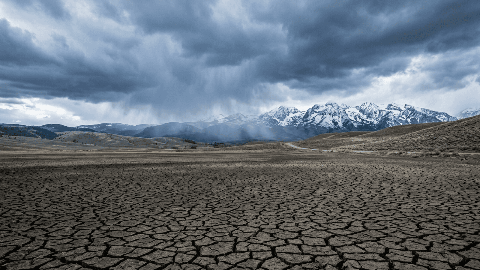
NOAA’s winter outlook forecasts a chance of drought relief across parts of the Southwest, southern Great Plains and East Coast, where wetter-than-average conditions are expected. The outlook also warns that the South’s potential rain and snow can bring flash-flood and mudslide risks, while parts of the northern tier may be drier. Drought could ease or end in some places, but it may worsen in Oregon, eastern Washington and parts of the northern Rockies. The forecast covers December through February and reflects the expected influence of a strong El Niño. Communities in potentially affected regions are advised to prepare, though the outlook does not provide specific deadlines, required forms or guaranteed local outcomes.
TLDR: NOAA expects a wetter winter across parts of the South, with possible drought relief alongside flash-flood and mudslide risks. Northern regions may be drier, and uncertainty remains in several areas, so communities are advised to prepare for the conditions forecast locally.
NOAA’s winter outlook points to a possible shift in drought conditions across the United States. Parts of the South may receive more rain and snow than usual, while much of the northern tier could have a drier-than-average winter. The forecast offers a useful regional picture, not a promise of relief everywhere.
The outlook covers temperatures and precipitation from December through February. NOAA’s stated rationale is that a strong El Niño is expected to play a significant role in the season’s weather patterns. This is a practical reason to watch the regional forecast closely, while recognizing that El Niño does not make winter risks disappear. The seasonal window helps frame the outlook, but it cannot identify the exact weather any community will experience.
El Niño is a climate pattern shaped by ocean temperatures in the tropical Pacific. It is considered the warmer phase of the El Niño-Southern Oscillation, opposite the cooler La Niña phase. But “warmer” does not mean mild conditions across the country, and it does not mean that storms will be harmless.
Ken Graham, director of NOAA’s National Weather Service, said a strong El Niño does not reduce the severity of winter weather risks. Earlier El Niño events have been associated with stormier conditions across the southern United States, increasing the chance that some drought-stricken places will get rain or snow. Graham also warned that heavy precipitation on dry ground can fuel destructive flash floods and mudslides.
The outlook expects wetter-than-average conditions across the southern band of the country, including the Southwest, Southeast and parts of the East Coast. That pattern could help drought-stricken areas of the Southwest, southern Great Plains and East Coast. Forecasters say drought could ease across large stretches of the country and may end in some places, but the forecast does not guarantee that outcome.
The northern picture is less favorable for precipitation. Parts of the Great Lakes, the northern Mountain West, Hawaii and much of Alaska may be drier than average. Drought could develop or worsen in Oregon, eastern Washington and parts of the northern Rockies, including areas that have already faced long periods without enough water. A wetter forecast in one region therefore offers no assurance to residents and communities elsewhere.
Some places may see little clear signal for either wetter or drier conditions. Parts of the Intermountain West, northern Plains and Ohio Valley have equal chances of receiving below-average, near-average or above-average precipitation. In those areas, the outlook does not point toward a single likely outcome. That uncertainty is part of the forecast, not evidence that a particular amount of rain or snow is assured.
Temperature forecasts add another layer to the regional picture. NOAA expects warmer-than-average conditions in parts of northern California, the Pacific Northwest, the Midwest and Mississippi Valley, as well as much of the eastern United States and Alaska. Much of the lower half of the country is expected to be near normal or potentially just below normal, with near-normal temperatures forecast in parts of the Southeast, including Florida. For much of the Southwest and Hawaii, all three temperature ranges remain equally possible.
The practical impact is a season-long forecast, not a new rule or government program. The period covered is December through February, and the excerpt identifies no fees, forms, compliance requirements or enforcement deadlines. Communities in regions that could face heavy precipitation are advised to prepare for flash floods and mudslides; people and local officials in areas facing possible drought will need to account for the risk of continued or worsening water shortages. Those are the concrete implications described, while specific actions and local timelines are not provided in the outlook.
The forecast is useful precisely because it distinguishes likely regional trends from areas where the outcome remains uncertain. It also makes clear that possible drought relief can arrive alongside flood hazards, and that some places may become drier. The necessary next step is for affected communities to use the seasonal outlook to prepare accordingly and follow developments through the winter. NOAA’s outlook sets out the expected patterns, but the available information does not say that experts can guarantee outcomes or that any additional oversight process is planned.

Chloe Foster serves as a Staff Writer for Just Right News, where she spearheads the outlet’s coverage of Media, Culture, and Information Integrity. In an era defined by rapid-fire digital communication and shifting societal norms, Chloe has distinguished herself as a vital voice for readers seeking clarity amidst the noise. Her signature feature series, “The Story Wars,” has become a cornerstone of the publication, offering a deep dive into the ideological battles currently shaping American life and the ways in which mainstream narratives are constructed, disseminated, and often manipulated.
Chloe’s unique perspective is informed by a life lived in two of the nation’s most influential cultural hubs. Raised in Los Angeles, California, she grew up in the shadow of the world’s most powerful media and entertainment apparatus. This upbringing provided her with a front-row seat to the “dream factory,” allowing her to observe firsthand how cultural exports are crafted and how they often diverge from the lived experiences of everyday Americans. Her time in Los Angeles instilled in her a healthy skepticism of manufactured consensus and a passion for uncovering the truths that lie beneath polished public relations campaigns.
Today, Chloe operates from Brooklyn, New York, a vantage point that places her at the epicenter of the modern media landscape. Living and working in a deep-blue urban environment as a conservative journalist has sharpened her reporting, requiring a rigorous commitment to intellectual honesty and a steadfast defense of traditional values. Her base in Brooklyn allows her to engage directly with the institutions and influencers who drive the national conversation, providing Just Right News readers with an “on-the-ground” look at the cultural shifts originating in the Northeast.
As a Hispanic woman, Chloe brings a nuanced understanding of community and heritage to her beat. She frequently explores how media portrayals of the Latino community often overlook the deep-seated faith, entrepreneurial spirit, and family-centric values that define it. Her work challenges the monolithic labels often applied by mainstream outlets, instead highlighting the diversity of thought and the conservative principles that resonate within her community.
In her role at Just Right News, Chloe views “Information Integrity” not merely as a buzzword, but as a mission. She believes that a healthy republic requires a media landscape where facts are prioritized over agendas and where the public is empowered to think for themselves. Through “The Story Wars,” she deconstructs the framing of major news events, exposing bias and providing the context necessary for readers to understand the broader cultural implications of the day’s headlines.
Chloe Foster’s reporting is more than just a collection of articles; it is a sustained effort to reclaim the narrative for those who feel sidelined by the prevailing media establishment. By bridging the gap between her West Coast roots and her East Coast base, she continues to provide essential commentary on the forces that define our shared American culture.