

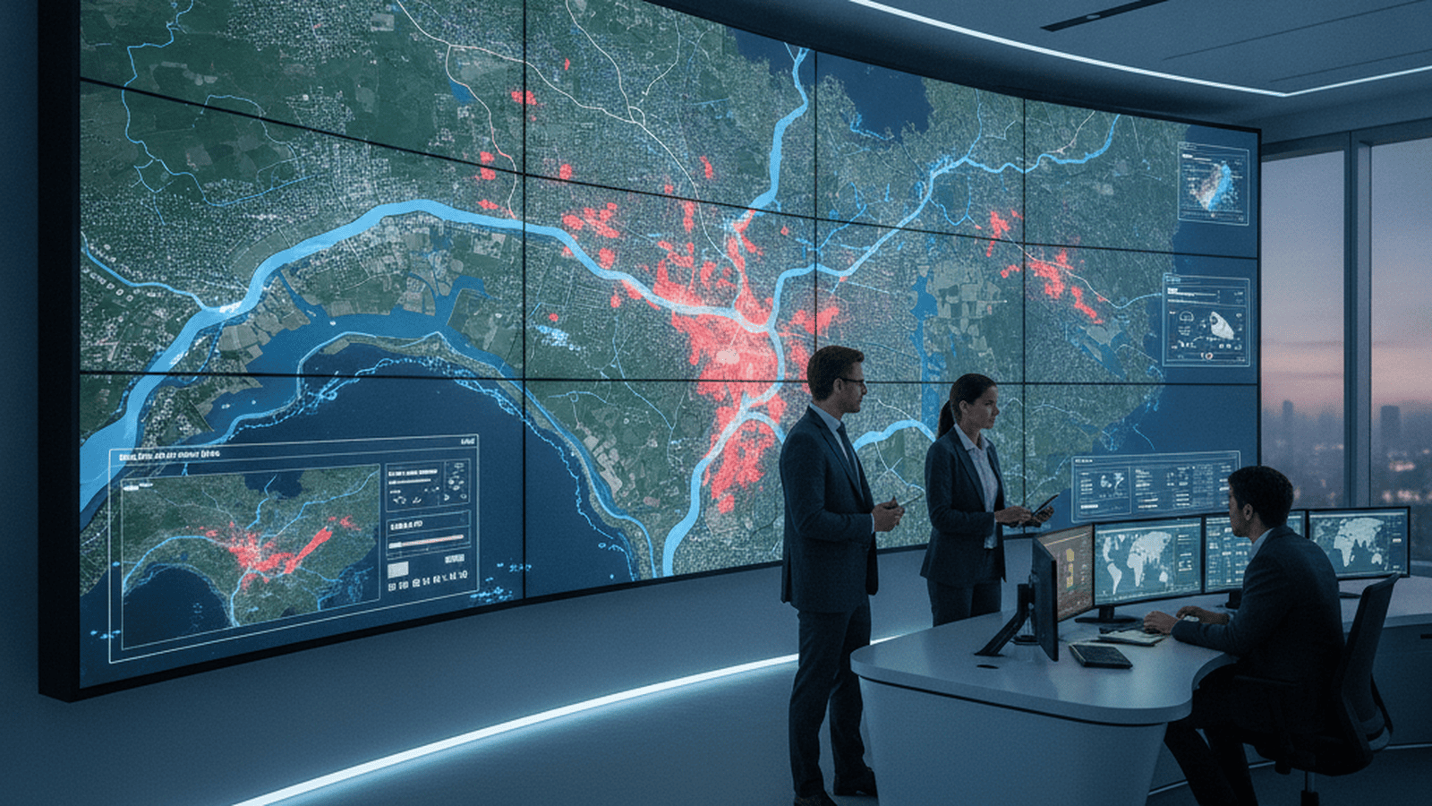
Google Research has expanded its AI-powered flood forecasting system, FloodHub, to 80 countries, providing early warnings to 460 million people. The system uses machine learning to predict riverine floods up to seven days in advance, even in regions lacking physical monitoring sensors.
TLDR: A global AI-based flood forecasting system now covers 80 countries, offering seven-day warnings to nearly half a billion people. By utilizing machine learning to analyze satellite data and weather patterns, the system provides critical disaster alerts in regions where traditional physical sensors are unavailable, significantly improving climate resilience.
Researchers at Google Research, in collaboration with international hydrologists and government agencies, have developed a machine learning-based system capable of predicting riverine floods up to seven days in advance. This initiative, known as FloodHub, recently expanded its coverage to 80 countries, providing critical early warning information to over 460 million people. The system addresses a significant gap in global disaster preparedness, particularly in regions where traditional physical monitoring infrastructure is sparse or non-existent. By leveraging artificial intelligence, the project aims to provide the same level of protection to vulnerable communities that was previously only available in wealthy nations with dense sensor networks.
Traditional flood forecasting relies on complex physical models that require extensive historical data and local calibration. These models often struggle in ungauged basins, which are river systems lacking physical sensors to measure water levels and flow rates. The AI-driven approach bypasses some of these limitations by utilizing Long Short-Term Memory (LSTM) networks. These neural networks are specifically designed to process sequences of data over time, making them ideal for hydrological modeling. They are trained on a vast array of global datasets, including satellite imagery, topography, and historical weather patterns, allowing the system to infer hydrological behavior even in areas without local sensors.
The expansion of this technology represents a shift toward democratizing climate resilience tools. By providing high-resolution forecasts through a public interface, the system enables local authorities and non-governmental organizations to initiate evacuation protocols and resource allocation before floodwaters arrive. In many parts of Africa, Asia, and South America, this lead time can be the difference between a manageable event and a humanitarian catastrophe. The model’s ability to generalize across different geographical regions is a result of its training on diverse global river systems, a technique known as transfer learning. This allows the AI to apply lessons learned from data-rich rivers to those with no historical records.
Validation studies published in scientific journals indicate that the AI model achieves a level of accuracy comparable to or exceeding the current state-of-the-art global flood models. Specifically, the system has demonstrated the ability to provide five-day forecasts with a reliability similar to what traditional systems achieve for zero-day conditions. This improvement is attributed to the AI’s capacity to identify non-linear patterns in precipitation and runoff that traditional linear models might overlook. The researchers found that the machine learning approach was particularly effective at predicting the timing and magnitude of peak flow events, which are the most dangerous phases of a flood.
The project involves ongoing collaboration with the World Meteorological Organization (WMO) and various national hydrological services. These partnerships ensure that the AI-generated data is integrated into existing emergency response frameworks and that local knowledge is used to refine the models. While the current focus is on riverine flooding, researchers are working to incorporate other types of flood risks, such as flash floods and urban inundation. These events present unique modeling challenges due to their rapid onset and the complex interactions between water and man-made infrastructure.
Future iterations of the system aim to integrate real-time sensor data from the Internet of Things (IoT) to further refine local accuracy. Researchers are also exploring the use of generative AI to simulate extreme weather scenarios, helping planners visualize the potential impact of unprecedented climate events. As global temperatures rise and extreme weather becomes more frequent, the integration of artificial intelligence into disaster management systems is becoming a cornerstone of international climate adaptation strategies. The ultimate goal is to create a global, real-time digital twin of the Earth’s water systems to predict and mitigate the impacts of a changing climate.

Rachel Vaughn serves as a Senior Correspondent for Just Right News, where she leads the network’s coverage of Global Health, Climate, and Development. With a career defined by intellectual rigor and a commitment to principled reporting, Rachel provides a vital conservative perspective on some of the most complex and high-stakes issues facing the world today. Her work is characterized by a refusal to accept bureaucratic narratives at face value, focusing instead on how international policies impact national sovereignty, individual liberty, and the American taxpayer.
Raised in New Haven, Connecticut, Rachel grew up in an environment dominated by elite academic discourse. This upbringing provided her with a front-row seat to the inner workings of the American establishment, but it also instilled in her a healthy skepticism of the “ivory tower” consensus. She learned early on that while academic theories may sound promising in a lecture hall, they often fail to account for the practical realities of the working class. This background drives her to bridge the gap between high-level policy discussions and the common-sense concerns of everyday citizens, ensuring that her reporting remains grounded and accessible.
Now based in Burlington, Vermont, Rachel operates from a unique vantage point within one of the nation’s most progressive political landscapes. Living and working in a region that often serves as a testing ground for radical social and environmental experiments allows her to witness the real-world consequences of these policies firsthand. From her base in the Green Mountain State, she provides Just Right News readers with essential “boots on the ground” reporting, documenting the friction between local mandates and the constitutional freedoms of the individual. Her presence in Burlington ensures that her critiques of globalist agendas are informed by a direct understanding of how those ideologies manifest at the local level.
In her acclaimed feature series, “Planetary Stakes,” Rachel explores the intersection of international development and environmental stewardship. She rejects the alarmism often found in mainstream media, opting instead for a sober analysis of the economic and geopolitical costs of global climate agreements. Her reporting frequently highlights the importance of market-driven innovation and the role of American leadership in fostering global health without ceding authority to unelected international bodies. Through “Planetary Stakes,” she has become a leading voice for those who believe that true conservation and public health are best achieved through transparency, accountability, and the protection of private property rights.
Throughout her tenure at Just Right News, Rachel has distinguished herself as a journalist who is unafraid to ask difficult questions of global institutions. Whether she is investigating the influence of non-governmental organizations on domestic policy or analyzing the fiscal transparency of international health initiatives, her goal remains the same: to provide her audience with the facts necessary to navigate an increasingly interconnected world. Her blend of East Coast intellectual heritage and her current immersion in the political heart of the Northeast makes her an indispensable asset to the newsroom and a trusted source for readers seeking a principled, conservative take on the issues that define our era.