

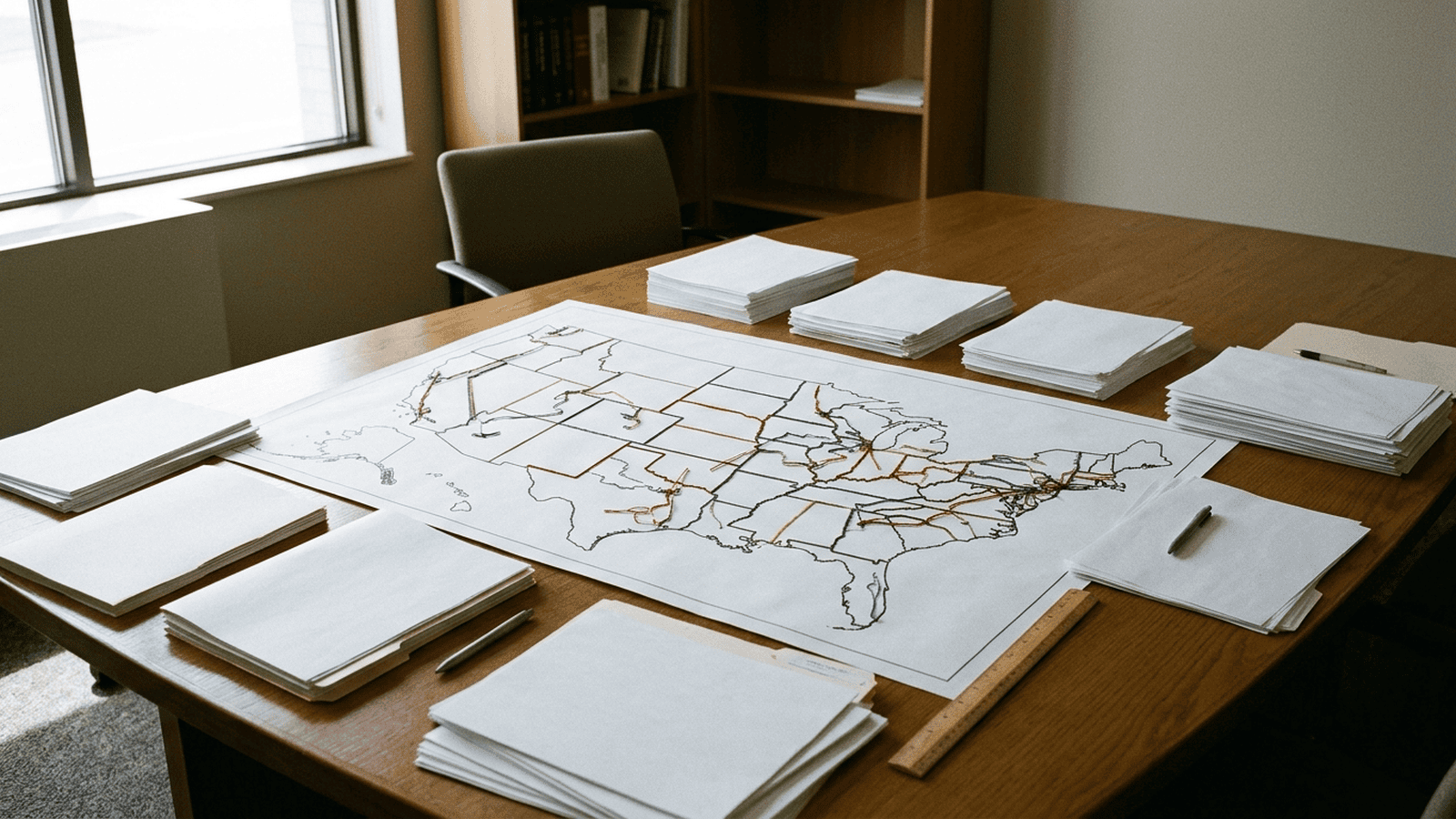
Nearly 35 million Americans are expected to vote in congressional districts redrawn ahead of this year’s midterms, after partisan battles over political maps. The coverage places those changes in the longer history of gerrymandering, described as a centuries-old and powerful tool in American politics. Judy Woodruff’s reporting is part of “Crossroads: America at 250,” a series tied to the nation’s 250th anniversary. The excerpt does not specify which districts changed, explain the map-drawing process, or provide costs, paperwork, enforcement rules, or deadlines. It identifies voters in redrawn districts as those directly affected, while leaving the precise effects and any oversight process unstated.
TLDR: Partisan disputes over congressional maps precede this year’s midterms, when nearly 35 million Americans are expected to vote in redrawn districts. The source frames gerrymandering as a longstanding force in politics but does not detail the maps, process, costs, or oversight.
Nearly 35 million Americans are expected to vote in congressional districts redrawn ahead of this year’s midterms. The new maps followed partisan battles and have renewed attention to gerrymandering, a practice described as centuries old and one of the most powerful tools in American politics. The scale is notable: millions of voters will cast ballots in districts whose boundaries have changed before an election.
The coverage examines the origins of gerrymandering and its continuing role in American politics. The available material does not give an official rationale for redrawing the districts. It describes a reporting project, rather than a newly adopted government policy, and does not set out arguments from the officials or groups involved in the map disputes.
The word gerrymandering dates to an early American political fight. In 1812, Massachusetts Governor Elbridge Gerry approved a state senate map that favored his party. A newspaper cartoon compared the shape of one district to a salamander, helping give the practice its name. The term has lasted, but the underlying contest over how districts are drawn is older than the word itself.
A congressional district is the area whose voters choose one member of the House of Representatives. Drawing its boundaries determines which communities vote together for that seat. As a result, maps can shape the balance of political power even when the number of seats and the number of voters remain unchanged. The boundaries also influence which voters share a representative and which communities are grouped together.
Partisan mapmakers can seek an advantage in more than one way. One common approach, often called packing, concentrates many opposing voters in a small number of districts. Another, called cracking, divides those voters among several districts, where they may have less influence. Those labels describe general methods, not proof that any particular map uses them. The available material does not identify this year’s affected districts or provide enough detail to assess their boundaries.
That distinction matters in evaluating the disputes. A map may be criticized as unfair by one side and defended as lawful or reasonable by another. Without the maps, the arguments made by officials, and relevant legal findings, the excerpt does not establish which claims are supported. It also does not describe court challenges or say whether any boundaries may still change.
The timing lends the subject added weight. The country is marking its 250th anniversary, and the coverage is part of Judy Woodruff’s series, “Crossroads: America at 250.” Looking at the practice’s origins places the current map battles in a longer political history. It also offers a way to consider how choices about boundaries can affect representation, while keeping the limits of the available information clear.
For voters, the direct fact provided is that nearly 35 million people are expected to vote in congressional districts redrawn before the midterms. The excerpt does not say whether a voter’s polling place, registration, or voting process will change. It gives no additional paperwork requirements, fees, or compliance steps. It also provides no specific deadlines beyond saying the maps were redrawn ahead of this year’s election.
The practical effects of the changes therefore remain unclear from the material at hand. It identifies no administrative costs, enforcement measures, oversight body, or review schedule. Nor does it name the states or districts involved, so readers cannot use the excerpt alone to check how a particular community’s boundaries have changed. Those details would be needed to assess the immediate impact on voters and election administrators.
The reporting project is set to examine both the origins of gerrymandering and its ongoing place in American politics. The partisan battles over maps form the immediate context, but the available account does not resolve the competing claims or measure the effect of individual boundaries on representation. For now, it establishes the size of the electorate affected and the long history behind the debate, while leaving the specifics of this year’s maps unanswered.

Ryan Mitchell serves as a Staff Writer for Just Right News, where he anchors the desk for Cyber, Technology Policy, and Digital Sovereignty. In an era where the digital landscape has become as much a battlefield as any physical territory, Ryan provides a critical conservative lens on the forces shaping the future of American innovation and national security. His work is defined by a commitment to the idea that American leadership in the digital age is not just a matter of economic success, but a necessity for the preservation of global liberty.
Born and raised in Austin, Texas, Ryan’s perspective is deeply rooted in the Lone Star State’s tradition of independence and skepticism of centralized authority. Growing up in a city that transformed from a quiet state capital into a global technology hub, he witnessed firsthand the disruptive power of the tech industry. This upbringing instilled in him a firm belief in free-market principles and the necessity of protecting individual liberties from both government overreach and corporate overstep. His Texan background serves as a foundational compass, guiding his reporting toward stories that emphasize national resilience and the preservation of constitutional values in an increasingly virtual world.
Now based in San Francisco, California, Ryan operates from the epicenter of the very industry he scrutinizes. Living and working in the heart of Silicon Valley allows him to provide “boots on the ground” reporting that few conservative journalists can match. He navigates the cultural and political complexities of the Bay Area to bring Just Right News readers an inside look at the boardrooms and coding labs where the next generation of digital policy is forged. For Ryan, being stationed in San Francisco is a strategic choice; it allows him to challenge the prevailing ideological monoculture of the tech elite from within their own backyard, ensuring that the concerns of middle America are represented in the conversation about our digital future.
His beat—Cyber, Technology Policy, and Digital Sovereignty—covers the high-stakes world of data privacy, artificial intelligence, and the infrastructure of the modern web. Ryan is particularly focused on the concept of digital sovereignty, arguing that for a nation to remain truly free, it must maintain control over its own technological destiny and critical infrastructure. He frequently explores how international regulations and domestic policies impact the ability of American firms to compete without sacrificing the privacy or security of their citizens.
Central to his current body of work is his featured series, “The New Cold War.” Through this project, Ryan examines the escalating technological rivalry between the United States and its global adversaries. He delves into the complexities of state-sponsored hacking, the global race for semiconductor dominance, and the ideological struggle to define the rules of the internet. Ryan views this competition not merely as a commercial race, but as a fundamental defense of Western values against authoritarian digital models. Through his rigorous reporting and principled analysis, Ryan Mitchell ensures that the readers of Just Right News stay informed about the invisible forces defining the 21st century, always advocating for a future where technology serves the cause of freedom.